

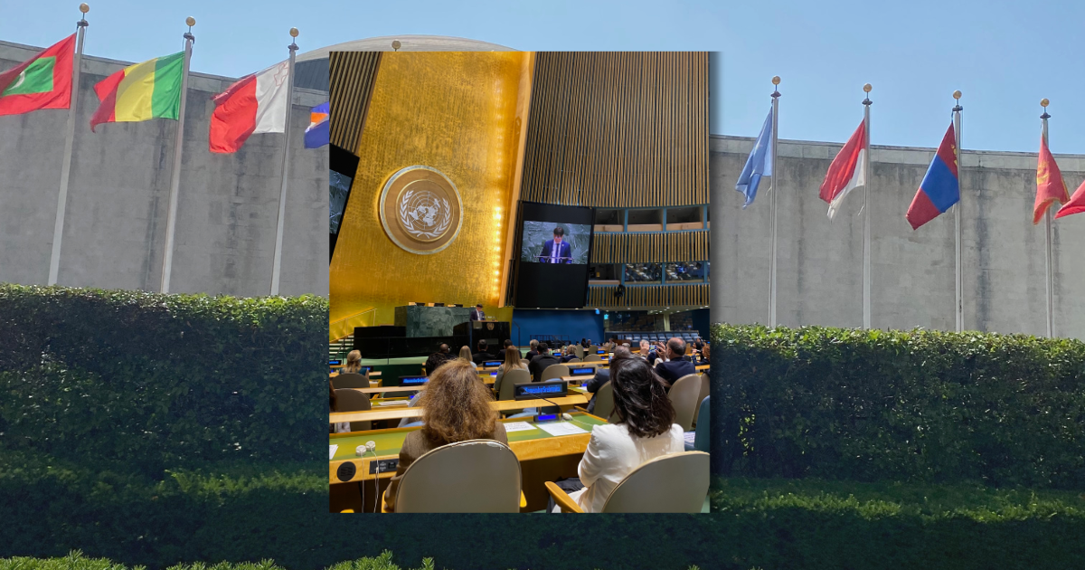
The United Nations General Assembly has approved a resolution supporting wider use of a world map that shows Africa closer to its true size, challenging the centuries-old Mercator projection that remains one of the most familiar ways of displaying the world.
The resolution, led by Togo and backed by African countries, calls for greater use of the Equal Earth projection, a modern map design created to preserve the relative size of continents and countries more accurately.
For generations, the Mercator projection has shaped how millions of people visualize the planet. But it significantly enlarges land masses closer to the poles while making regions near the equator appear smaller than they really are.
Africa is one of the clearest examples.
On many traditional world maps, Greenland and Africa can appear surprisingly similar in size. In reality, Africa is roughly 14 times larger than Greenland. Africa covers about 30 million square kilometers, making it the second-largest continent in the world.
The distortion happens because it is mathematically impossible to flatten a spherical Earth onto a rectangular map without changing something — shape, distance, direction or area.
The Mercator projection was developed in the 16th century primarily for navigation. It preserves angles and directions well, which made it extremely useful for sailors, but that advantage comes at the cost of greatly distorting land area toward the poles.
The Equal Earth projection, introduced in 2018, takes a different approach. It preserves the relative areas of countries and continents, allowing Africa, South America and other regions to appear much closer to their actual proportions.
Supporters of the change argue that maps do more than show geography.
African Union officials and advocacy groups have argued that repeatedly showing Africa much smaller than its real size can influence how people perceive the continent’s importance, population and place in the world.
Togo’s Foreign Minister Robert Dussey has said that accurate representation begins with accurate maps, connecting the campaign with broader efforts to reconsider representations inherited from the colonial era.
The resolution passed overwhelmingly, with 164 countries voting in favor, six abstaining and only the United States voting against it.
The measure is not legally binding, and it does not ban the Mercator projection. Mercator maps can still be useful for navigation and other specialized purposes.
Instead, the resolution encourages the United Nations, governments, schools and other institutions to consider using maps that portray the relative size of countries and continents more accurately.
Togo has already said it plans to revise geography materials in its schools, while supporters of the initiative also hope to encourage technology companies and international organizations to adopt Equal Earth-style maps more widely.
The debate is ultimately about more than cartography.
A map is one of the first ways children learn what the world looks like. And when the map itself changes proportions, it can quietly change our perception of which places are large, small, central or distant.
Africa did not suddenly become larger.
It was always that large. The map simply did not show it that way.
Source: Reuters
By NJ RADAR Team