


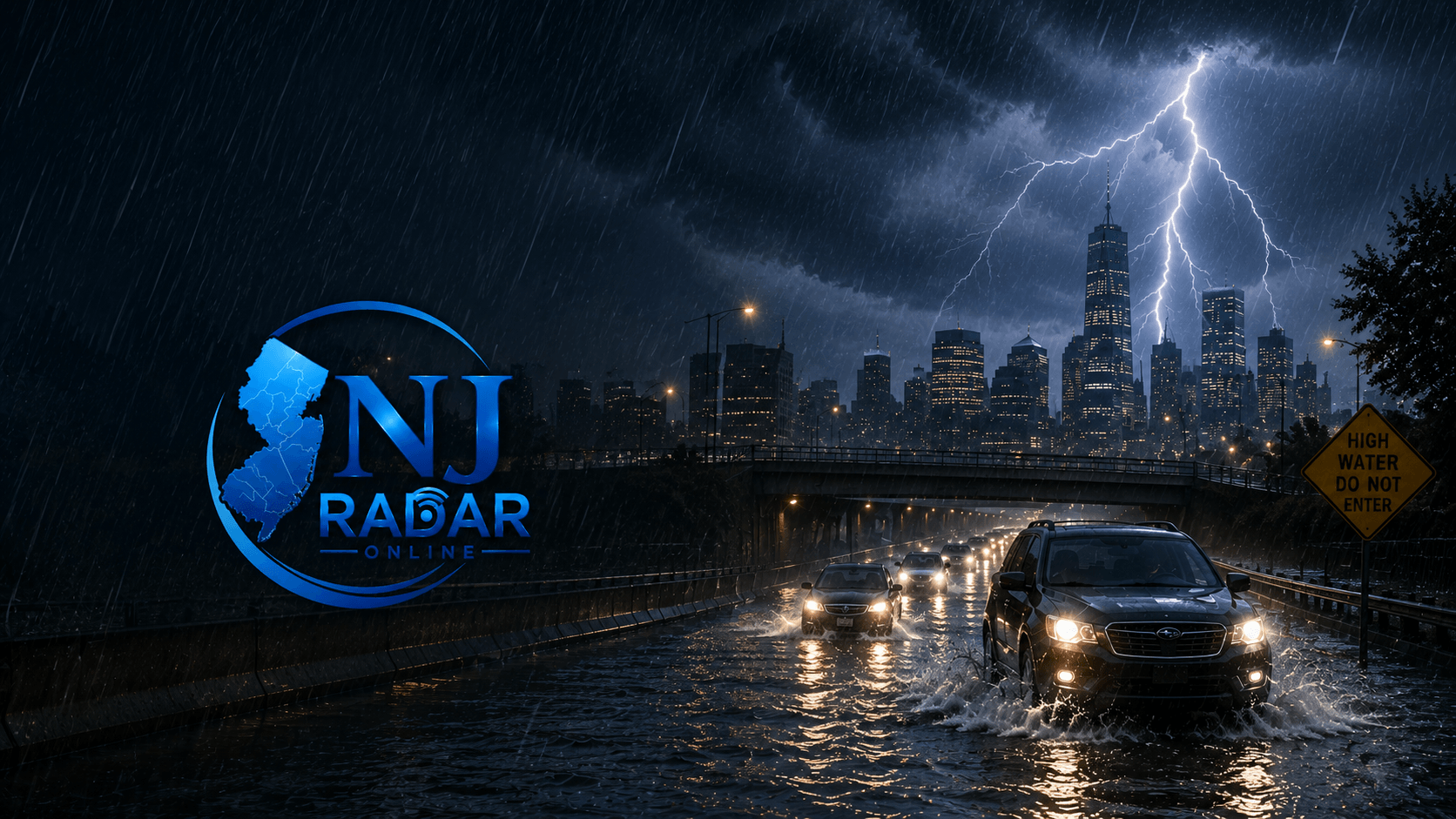
NEW JERSEY — Severe thunderstorms and heavy rainfall swept across much of New Jersey on Tuesday, causing localized flooding, hazardous travel conditions, and multiple weather alerts throughout the state.
The National Weather Service (NWS) issued flash flood warnings and flood watches for large portions of New Jersey, warning that some areas could receive between 2 and 5 inches of rain in a short period. The intense downpours quickly overwhelmed drainage systems, leaving roads, intersections, and underpasses flooded in several communities.
Among the hardest-hit areas were Bergen, Passaic, Essex, Hudson, Morris, Union, Warren, and Sussex counties, where emergency officials urged motorists to avoid driving through flooded roadways and to follow local safety advisories.
The storms also prompted a Tornado Warning for parts of Sussex and Warren counties, as strong wind gusts and dangerous weather moved through the region.
The severe weather disrupted air travel as well, with delays and cancellations reported at Newark Liberty International Airport due to the storms.
Although the heaviest rainfall has moved out of some areas, meteorologists warn that flooding may persist on low-lying roads and in areas with poor drainage. Residents are encouraged to remain alert and monitor official weather updates as conditions continue to evolve.
Sources: National Weather Service (NWS), CBS New York, New York Post.