


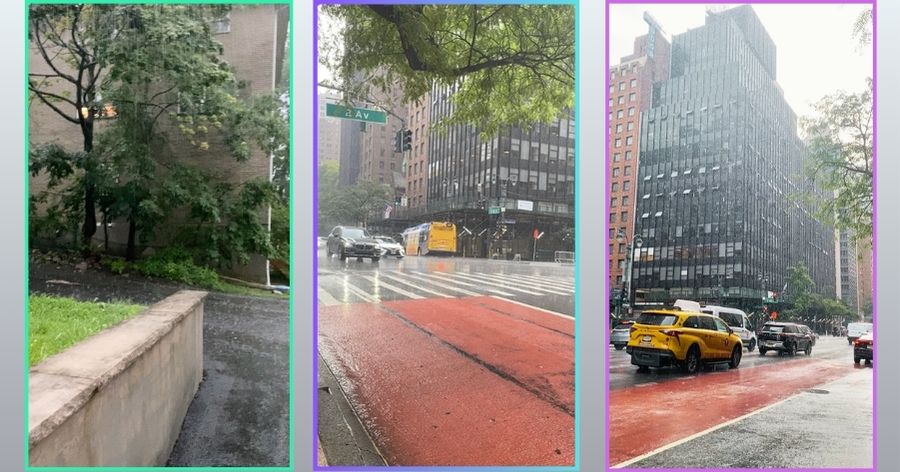
Heavy rain is already falling across parts of North Jersey as a powerful line of thunderstorms moves through the region, bringing the risk of flash flooding, lightning and rapidly worsening road conditions.
The National Weather Service has issued a Flash Flood Warning until 7:45 p.m. Thursday for southern Bergen County, Essex County, Hudson County, eastern Passaic County and northeastern Union County, along with all five boroughs of New York City.
At 5:39 p.m., Doppler radar showed thunderstorms producing heavy rain across the warned area. Between 1 and 1.5 inches of rain had already fallen, with rainfall rates of 0.5 to 1.5 inches per hour and another 1 to 2 inches possiblein some locations.
Flash flooding is already occurring or could begin quickly, according to the National Weather Service.
The warning includes communities such as Jersey City, Newark, Paterson, Passaic, Hoboken, Hackensack, Bergenfield, Paramus, Ridgewood, Lyndhurst and Rutherford.
The greatest danger is in urban and low-lying areas, where heavy rain can overwhelm drainage systems in a short period of time. Streets, highways, underpasses and small streams may flood rapidly.
Drivers are being urged not to enter roads covered by water. Even relatively shallow flooding can hide road damage or become strong enough to move a vehicle.
Current conditions in Fort Lee already show heavy rain, while additional showers and thunderstorms remain possible through the evening.
Residents should continue monitoring local conditions as this storm moves through the region.
Source: National Weather Service
By NJ RADAR Team