


New Jersey residents are expected to face another round of heavy rain and thunderstorms today, with meteorologists warning of an increased risk of flash flooding across several parts of the state.
The National Weather Service has issued a Flood Watch for portions of New Jersey and the surrounding region, warning that periods of heavy rainfall and locally intense downpours are likely throughout the day. Rainfall totals of 1 to 3 inches are expected in some areas, with isolated locations potentially receiving even higher amounts in a short period.
Forecasters are especially concerned because the ground remains saturated following last week’s heavy rainfall and flooding across parts of New Jersey. As a result, even brief but intense downpours could quickly lead to flash flooding on roads, underpasses, and other low-lying areas. Rainfall rates could reach 1 to 2 inches per hour in the heaviest storms.
Officials are urging residents to avoid driving through flooded roadways, monitor the latest weather alerts, and expect possible traffic delays and temporary road closures throughout the day.
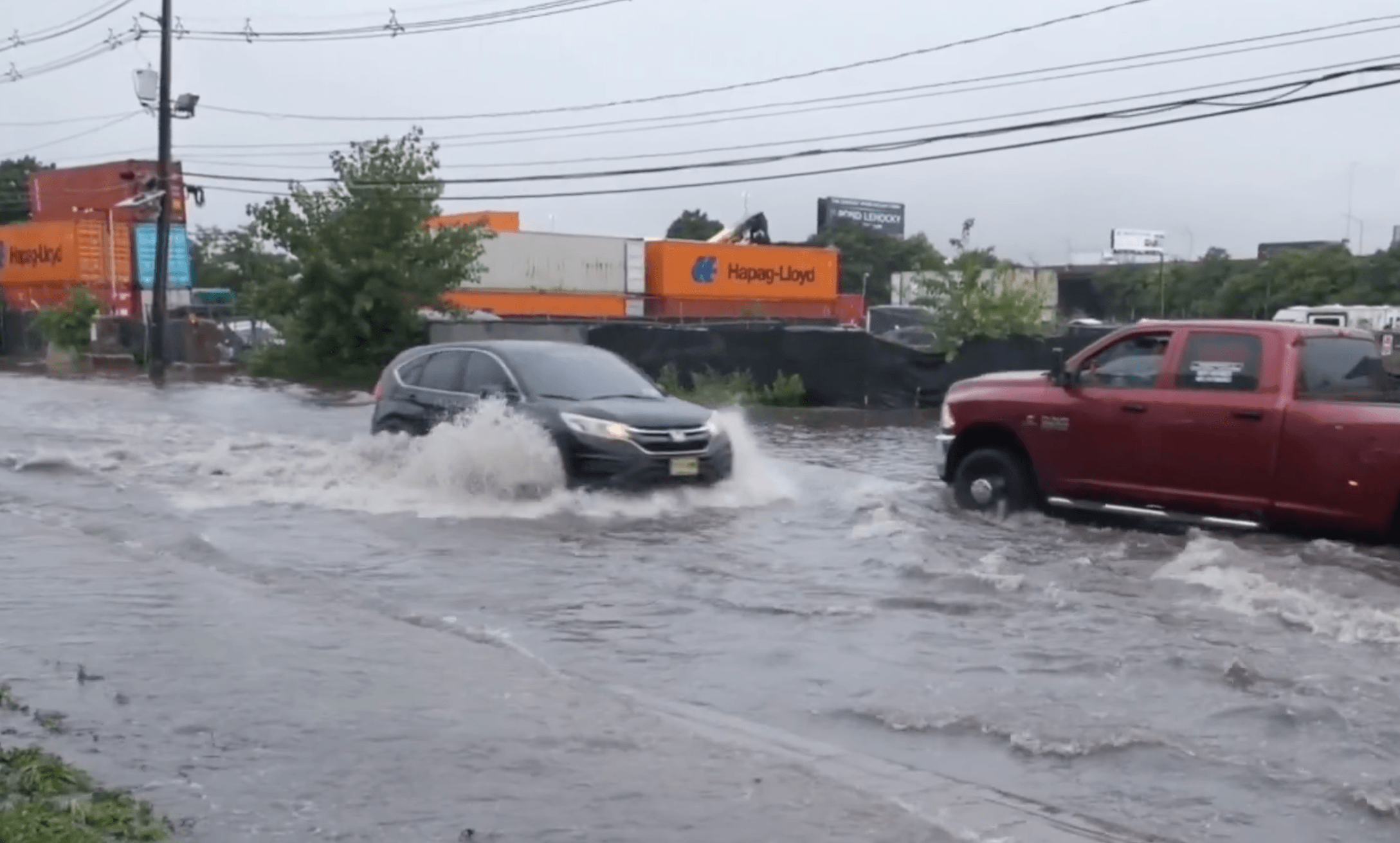
How quickly conditions can deteriorate is illustrated in a video shared on X, showing significant flooding at the intersection of Foundry Street and Avenue P in Newark. Floodwaters covered the roadway, making travel especially dangerous for low-clearance vehicles. The footage was captured by Dakota Santiago and shared by @ScooterCasterNY under license from FreedomNewsTV.
According to the latest forecasts, the heaviest rainfall is expected during the afternoon before conditions gradually improve later tonight and into Tuesday.
Sources: National Weather Service, CBS New York, ABC7 New York, and video published on X (@ScooterCasterNY, footage by Dakota Santiago / FreedomNewsTV).
Photo/Video Credit:
Video / Screenshot: X (@ScooterCasterNY). Footage by Dakota Santiago. Courtesy of FreedomNewsTV.