


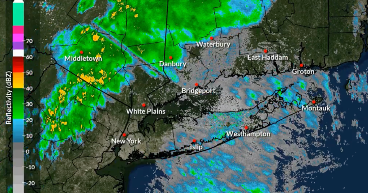
October 16, 2026 — New Jersey Governor Mikie Sherrill is urging residents to prepare for potentially severe thunderstorms, gusty winds, and a rapid drop in temperatures as a powerful cold front moves across the state Friday evening.
The governor issued a public weather advisory, encouraging residents to monitor local forecasts and pay close attention to weather alerts.
According to the National Weather Service, isolated severe thunderstorms could develop across parts of New Jersey during the afternoon and evening.
Strong wind gusts are among the main concerns, with some thunderstorms potentially producing damaging winds.
Temperatures Expected to Drop Sharply
The cold front will bring a significant change in weather conditions heading into the weekend.
Friday’s temperatures could reach the upper 70s in parts of New Jersey before much colder air arrives overnight.
By Saturday, highs are expected to fall into the 50s, with brisk winds making conditions feel even cooler.
Some areas could experience temperatures near freezing Saturday night, raising concerns about frost.
Residents Urged to Take Precautions
Residents are encouraged to secure loose outdoor furniture and decorations, avoid unnecessary travel during severe storms, and remain indoors when thunder and lightning are present.
Drivers should be especially cautious during heavy rain and strong wind gusts.
The National Weather Service recommends monitoring updated forecasts and any warnings issued for specific counties.
The main message from state officials is clear: stay informed, prepare for rapidly changing conditions, and take weather warnings seriously.
Sources: Governor Mikie Sherrill · National Weather Service – Mount Holly · National Weather Service – New York
By NJ RADAR Team