


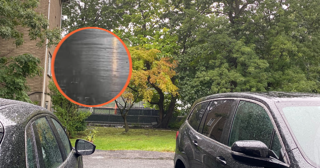
Heavy rain is moving across New Jersey Sunday morning, bringing the risk of flash flooding to a large portion of the state.
A Flood Watch remains in effect through noon Sunday, September 13, for many New Jersey counties. In North Jersey, the watch includes Bergen, Hudson, Essex, Passaic and Union counties, while additional watches cover much of central and southern New Jersey.
Forecasters say the heaviest rain is expected during the morning hours, with locally intense downpours and a few thunderstorms. Some areas could receive up to three inches of rain by midday, with locally higher amounts possible,
particularly in northeastern New Jersey.
The National Weather Service warns that excessive runoff could cause flooding along roads, streams, creeks and other low-lying or flood-prone areas. Drivers are urged not to attempt to cross flooded roadways because the depth and strength of moving water can be difficult to judge.
Conditions are expected to improve later Sunday as the rain and thunderstorms gradually move out from west to east.
Sources: National Weather Service; News 12 New Jersey; ABC7 New York
By NJ RADAR Team